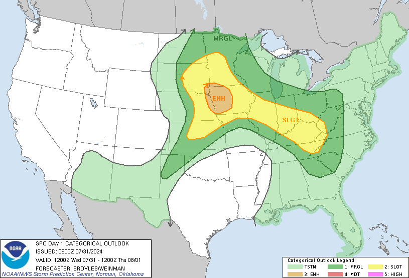
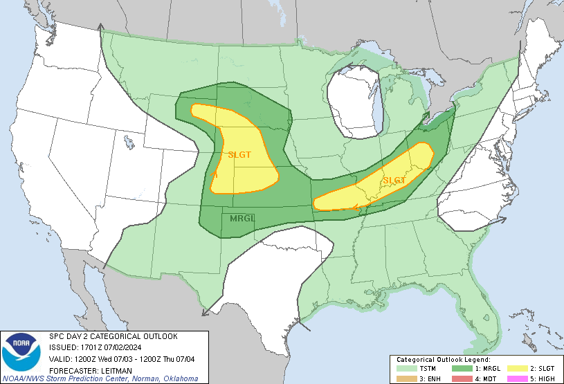
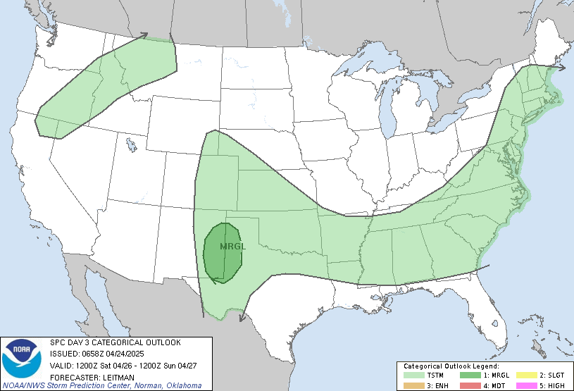
What a weird storm system.
Announcement
Collapse
No announcement yet.
Severe Weather 2013 - Act I
Collapse
X
-
No need to try and turn and odd storm (it was odd because the instability was actually behind the cold front) into something political. There was nothing extreme about this storm beside it actually rained west if the turnpike.Originally posted by 1979Shocker View PostThe weird weather will become more of the norm with extreme temperatures and stronger storms.
Is this the result of global warming, wihether natural or man-made or a combination of both?
Comment
-
I am not even for sure this storm is even that weird. I'm sure it has happened before and will happen again. It's the transition season, it's not surprising to see the weather doing weird things.Originally posted by 1979Shocker View PostThe weird weather will become more of the norm with extreme temperatures and stronger storms.
Is this the result of global warming, wihether natural or man-made or a combination of both?
In fact, after dissecting climate data for a recent assignment for my Climate Change class KS has generally seen no global warming - until the past couple of years. This graph is for Lakin, KS which in fact has shown more increase than stations in other parts of KS - especially eastern KS. Even looking at this graph and the running means can you discern something that is out of the ordinary compared to the warming trend in the 30's, 40's.
 Last edited by wsushox1; April 10, 2013, 08:08 PM.The mountains are calling, and I must go.
Comment
-
By weird, I meant the severe thunderstorms that occurred well behind the cold front. I realize they still formed due to elevated instability that was still present at 850 mb. You tend to see more of those post-frontal severe weather setups in summer usually.
It's a bit odd to have severe weather mixing with sleet at 34 degrees at the surface.
The whole threat flamed out though with the arctic front and its race south.Deuces Valley.
... No really, deuces.
________________
"Enjoy the ride."
- a smart man
Comment
-
The longer range models are showing a quick warm-up, followed by a cold front that is eventually gonna stall out - though it looks as if it is just south-east of here. Then another deep plunge of Canadian Air pushing well into the gulf, and taking the moisture with it.
Looks as if there won't be severe for at least 7-9 days - with little precipitation unless the initial cold front stalls out further north or if FROPA on the initial cold front is not dry.
Slow start to the season, and really a poor spring.
I would be mad if it all of a sudden decided to be blazing hot with no severe weather and little rain.
Sidenote:

We're right around a -2 on the Palmer HDI.
It's probably not feasible to receive that much rain this month, but it shows just how much is needed.Last edited by wsushox1; April 11, 2013, 02:15 AM.The mountains are calling, and I must go.
Comment
-
If the GFS were to verify for Wednesday, we'd be in for a pretty decent show up here. The NAM though seems to have been the winner lately and if that verifies it's a Dofo-east-of-the-turnpike and Oklahoma fest for tornadoes. Interestingly, the NAM seems to be the outlier right now, but it seems the most practical, given the very cool temps across Kansas currently and the likelihood for showers/storms tomorrow night that will help reinforce the warm front to the south.
But as wsushox has stated, it is good news, as moderate to heavy rainfall does seem like a pretty good bet for about everybody.Deuces Valley.
... No really, deuces.
________________
"Enjoy the ride."
- a smart man
Comment
-
Agreed to all the above, it's just unlikely that the GFS is going to move the dome of cold air that far back too the north in the 12 hour time frame that it advances the Warm Front north. As you said WAA rain showers are going to occur as it lifts which is going to hamper warm sector recovery.Originally posted by ShockerFever View PostIf the GFS were to verify for Wednesday, we'd be in for a pretty decent show up here. The NAM though seems to have been the winner lately and if that verifies it's a Dofo-east-of-the-turnpike and Oklahoma fest for tornadoes. Interestingly, the NAM seems to be the outlier right now, but it seems the most practical, given the very cool temps across Kansas currently and the likelihood for showers/storms tomorrow night that will help reinforce the warm front to the south.
But as wsushox has stated, it is good news, as moderate to heavy rainfall does seem like a pretty good bet for about everybody.
I haven't seen tonights Euro Data just yet - and even if I get to it will be very limited - but I'd guess that it is somewhat more inline with the NAM just due to the SPC's wording on the new Day 2 outlook.
Personally I think even OK is going to have to worry about crapvection starting too early and ruining the show down there as well. The cap is eroded by 18z on Wednesday and with strong enough forcing parcels might be able to rise earlier than that.Last edited by wsushox1; April 16, 2013, 02:55 AM.The mountains are calling, and I must go.
Comment
-

Day 1 Moderate risk does not include ICT and the Moderate is for Hail for all but the extreme southern portion where there is a 15%hatched tornado risk near the OK/TX border.
Will be chasing tomorrow, Initial Target. My hometown of El Dorado, KS which is included in the Moderate --yayyyyy not really.
Will need to head alot further south and further east from there, but it will make a nice stop over/half way point though.
0z GFS is still out to lunch. The Warm Front will need to advance at roughly 19 Miles Per hour for it to make it to the KS/OK border by 1PM tomorrow as is currently progged by the GFS. That's just not going to happen. Just to further discount this solution....there are currently no pressure falls with the SLP in New Mexico. If one was hoping for a further north advancement of the warm front then pressure falls would be a key indicator.
Eastern KS may be in play, but it's less than ideal chase territory but at this point my group and I will go after anything that thunders with a chance of rotating.Last edited by wsushox1; April 17, 2013, 02:38 AM.The mountains are calling, and I must go.
Comment


Comment